Southwest Florida waterfront community guides
Find the place.
Then verify the waterfront fit.
Explore eight areas around Punta Gorda, Port Charlotte, and the surrounding coast. Compare the setting, the trip from your dock, and the details of each individual property with Captain Kris.
Community names are a starting point. Water access, restrictions, maintenance responsibilities, and boating conditions need to be checked for the exact address.
Updated October 27, 2026 · Photos show named regional landmarks and scenery, not homes for sale or proof of access from a particular property.
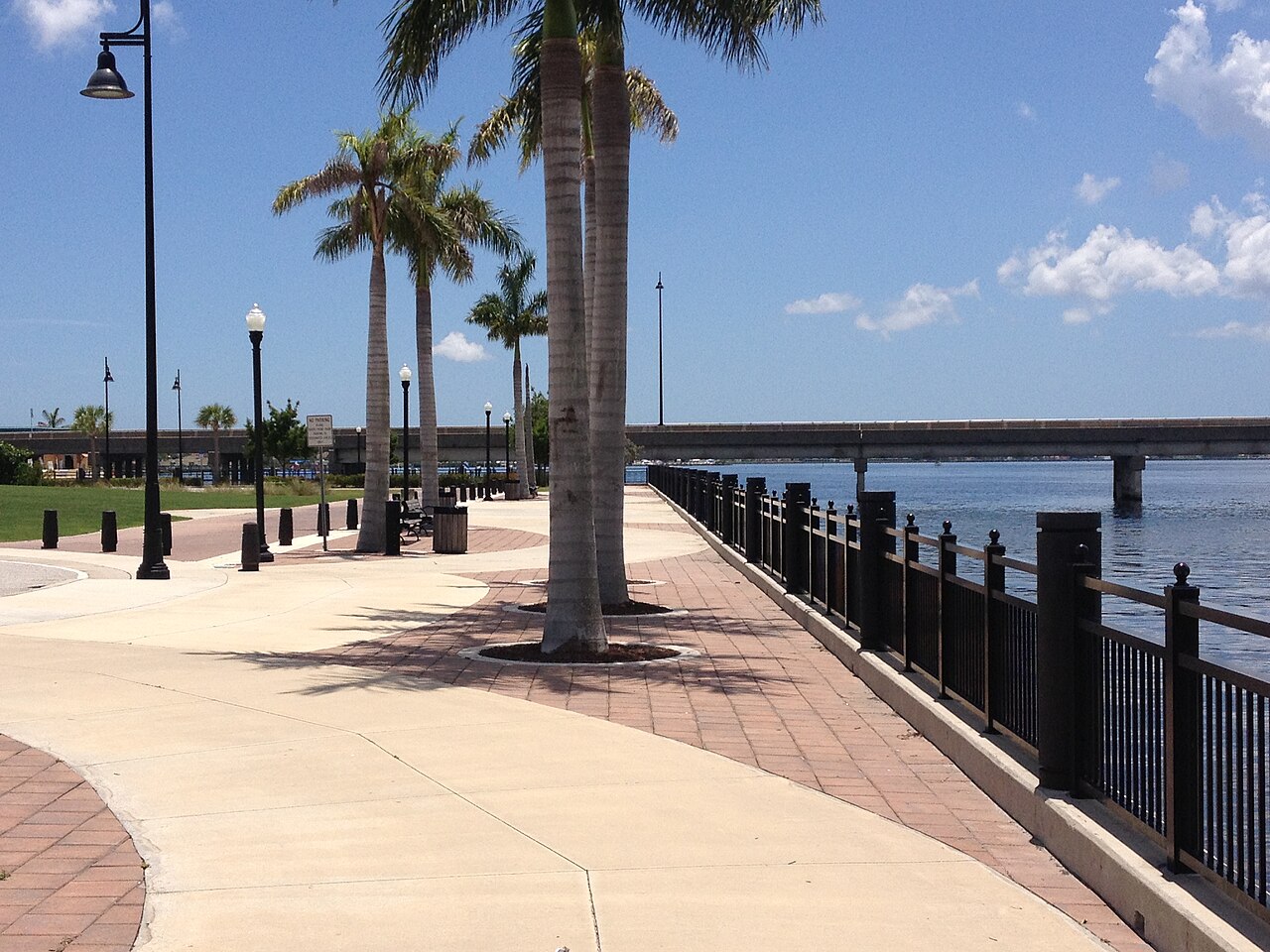

Harborfront living & individual canal routes
Punta Gorda
Start with the way you want to use both the town and the water. A home near the harborfront, a canal property, and a condominium can create very different day-to-day routines even when all share a Punta Gorda address.
Compare the actual drive or walk to your regular destinations, outdoor space, storage, and the route from the specific dock. A waterfront view does not establish boat access, and a nearby marina does not establish a right to use a slip.
- Identify the parcel and neighborhood rather than relying on the city label.
- Compare bridge, depth, dock, lift, and maintenance questions for each address.


Compare water bodies, canal connections & property needs
Port Charlotte
For a Port Charlotte search, bring the boat into the conversation at the beginning. Trace the waterway connected to the property, then identify the route toward the places you would actually cruise. Evaluate each candidate on the same vessel specifications.
On land, compare the home’s condition, outdoor setup, storage, and proximity to your routines. Keep the house inspection and waterfront evaluation as separate workstreams so a strong result in one does not hide an unanswered question in the other.
- Ask which waterway and maintenance arrangements apply to the parcel.
- Use current records to investigate canal connections and access claims.


A canal-district search with boat-specific questions
Punta Gorda Isles
Punta Gorda Isles is part of the City’s named canal maintenance district system. That makes the City of Punta Gorda canal resources a useful starting point when checking an address, maintenance responsibilities, and available program information.
A district name does not answer every navigation question. Work outward from the actual dock: canal turns, any bridges on the intended route, verified dimensions, and the boat you plan to operate. Do not assume that every PGI property provides the same route or vessel fit.
- Confirm parcel inclusion and the current scope of maintenance responsibilities.
- Request available seawall, dock, and lift records and arrange appropriate inspections.
Separate the canal district from similarly named areas
Burnt Store Isles
Burnt Store Isles is the other district named in the City’s canal program. Confirm the exact address and records; a similar “Burnt Store” name elsewhere is not evidence that the same district, access, amenities, or maintenance arrangements apply.
Build a property file with the home’s condition information, available marine improvements records, and questions about the proposed boating route. If you are considering a different vessel later, include its dimensions before treating the home as a long-term match.
- Clarify what is documented, what has been inspected, and what is still unknown.
- Ask whether the dock layout works for boarding, loading, maneuvering, and securing your boat.
Put the boat lock into the route conversation
South Gulf Cove
South Gulf Cove has a county-maintained boat lock. Before assuming that a property suits your vessel, review the County’s current lock information and confirm operating conditions and suitability for the boat’s dimensions and configuration.
The South Gulf Cove Waterway Benefit Unit describes a program involving waterway work and lock operation. Check the parcel and current scope directly. A project page or future improvement plan does not establish that new facilities are operating today.
- Evaluate the whole trip, including any lock-related constraints and timing.
- Keep dock and lift condition separate from the canal and lock review.
A distinct waterway system to investigate
Gulf Cove
Gulf Cove and South Gulf Cove are separate search areas. Do not carry assumptions about one into the other. Charlotte County provides a dedicated Gulf Cove Waterway Maintenance Benefit Unit resource and a canal design and maintenance dredge project page.
Use those resources to frame questions about the particular waterway, current work, and responsible office. Then have the route, boat compatibility, and marine improvements reviewed on their own merits. Maintenance planning is not a guarantee of present depth at a private dock.
- Identify the actual canal and route before comparing boating claims.
- Confirm current conditions and the dates behind any measurements or inspection reports.
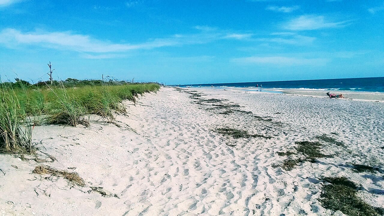

Bay, beach & mainland choices need different comparisons
Englewood & Lemon Bay
Sarasota County describes Englewood as overlooking Lemon Bay and spanning unincorporated areas of Sarasota and Charlotte counties. Confirm the exact parcel’s jurisdiction before relying on rules, services, or a mailing address.
Separate a waterfront home search from a beach-proximity search. A home near the beach may offer a different boating arrangement from a canal or bayfront property. If a slip, ramp, or marina is part of the plan, verify its availability, terms, and suitability separately.
- Compare the land-based routine as well as the boat route.
- For sailboats, include mast height and loaded draft early in the search.


Explore the peninsula and island setting without assuming access
Cape Haze, Placida & Boca Grande
These names describe different places around the wider coastal setting; they are not interchangeable property types. The Cape Haze Aquatic Preserve overview describes the surrounding waters and nearby communities. Florida State Parks provides information about the beaches at Gasparilla Island.
For a home search, compare the actual property’s waterfront rights, dock or slip arrangements, access route, and everyday logistics. A beach photograph is regional context, not evidence that a home has a private dock or a route suitable for your vessel.
- Distinguish mainland, peninsula, island, canal, and beachfront priorities.
- Verify current access and the terms of any proposed boating arrangement.
Compare the questions before the addresses.
| Search area | Start the conversation with | Verify for the property |
|---|---|---|
| Punta Gorda & Port Charlotte | Your everyday destinations and preferred waterfront setting | Exact route, bridges, dock rights, and inspections |
| Punta Gorda Isles & Burnt Store Isles | Your boat dimensions and the actual canal route | District records, seawall and dock responsibilities, lift suitability |
| South Gulf Cove & Gulf Cove | The specific waterway system and trip to open water | Current operations, navigation conditions, program documents |
| Englewood, Cape Haze & island areas | Bay, beach, mainland, or island priorities | Jurisdiction, access rights, dock or slip arrangements, route logistics |
Waterfront community questions
Does “waterfront” mean my boat can reach open water?
No. A water view, water frontage, and navigable access are different things. Trace the route from the specific property and confirm any bridges, locks, restrictions, and practical limits for your vessel.
Can I rely on a community name to choose a dock or lift?
Start with the boat’s length, beam, loaded draft, and height above water. Then verify the dock dimensions, lift specifications, permissions, condition, and route with the appropriate sources and professionals.
Where should I begin if I do not own a boat yet?
Describe the boat you may want, the places you hope to visit, and how often you plan to use it. That gives your search a useful starting point without assuming every waterfront address will work.
Continue with the boat-fit checklist and the Punta Gorda and Port Charlotte comparison.
Bring Captain Kris your short list.
Share a property link, your boat details, and the lifestyle you have in mind. We can turn a broad waterfront search into specific questions to investigate.
Talk about your waterfront search